

Geology
Geology answers questions engineering alone cannot: what type of rock and structure exists in the ground, where usable groundwater can be found, and what geological risks a project needs to consider. It is the link between field mapping and engineering design, from defining foundations to obtaining a water well permit.

The 8 geology services
Mapping and reconnaissance
- Structural geological mapping
- Geological-geotechnical mapping
- Photogeology
Field support for borehole drilling
- Borehole planning, field supervision and logging
Groundwater resources and permitting
- Water well permitting and spring registration
- Environmental impact studies for water resources
Consulting and expert opinion
- Marine geoconsulting
- Geological expert reports

Where geology fits into the cycle
-
Before drilling
Structural and geotechnical geological mapping, backed by aerial photogeology, points to where to investigate and what geological risks the project needs to consider, before any work touches the ground.
-
During drilling
The geologist plans, supervises and logs the borehole in the field, guiding where and how to drill and classifying the recovered material.
-
After drilling
Groundwater use permitting, spring registration, environmental impact studies, offshore geological consulting and expert opinions close the cycle with regularization, technical reports and legal support.
In technical terms
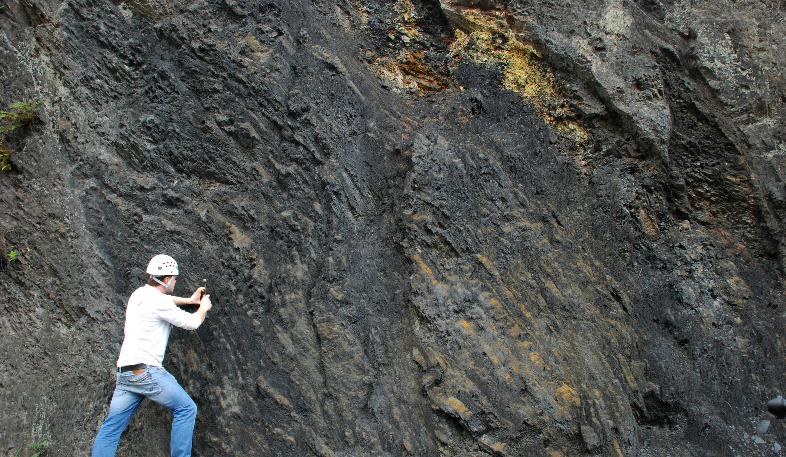
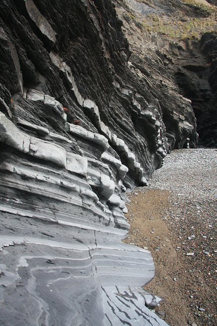
Structural geological mapping identifies faults, folds and other rock deformation features, while geological-geotechnical mapping characterizes the terrain for engineering design purposes. Borehole planning, field supervision and logging bring geology into the fieldwork of geotechnical drilling, guiding where and how to drill and classifying the recovered material. Water well permitting and spring registration deal with the regularization of groundwater use, supported by environmental impact studies for water resources when the project requires them. Photogeology uses aerial and remote-sensing imagery for regional geological reconnaissance. Marine geoconsulting extends this work to the offshore environment, and geological expert reports respond to technical and legal demands that require a formal geological report.
Where this applies
- Defining material properties for foundation, tunnel and bridge design
- Locating groundwater for water supply (hydrogeology)
- Assessing natural geological hazards to support projects and construction works
- Technical and legal support through geological reports and expert opinions
Need a geologist on your project?
Talk to our team and get guidance on mapping, well permitting, expert opinions, or any other geological need your project has.
Contact us